Satellite Views That Turn Geology Into Geometry
Benjamin Grant is a photographer who never touches the camera heÔÇÖs using. His four assistants receive his orders, and then they circle silently, hundreds or thousands of miles from his desk, doing his bidding. They send him digital image files that he then stitches together and polishes and refines to levels of extreme clarity to produce terapixel-size artwork of extreme complexity.
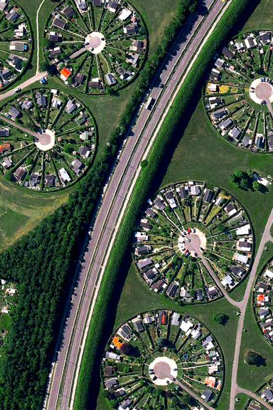
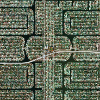
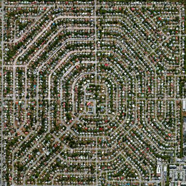
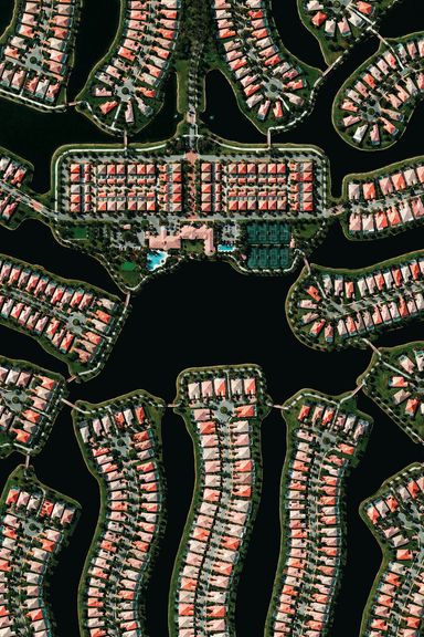
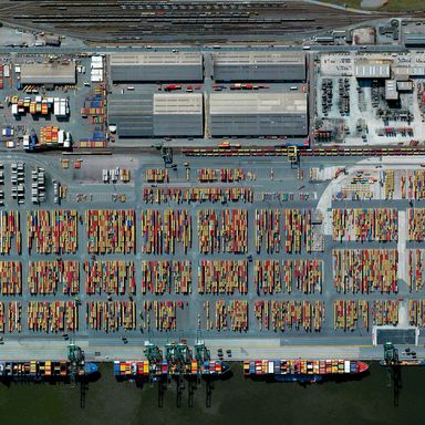
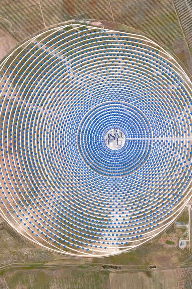
The assistants in question are not dudes in hoodies but instead the four satellites operated by a corporation called DigitalGlobe, orbiting roughly 400 miles overhead. Grant has been working with the company since 2013 on a project he calls ÔÇ£Overview.ÔÇØ He often starts his not-exactly-photo-shoots by reading rather than looking: ÔÇ£Resources like Wikipedia can be incredibly valuable,ÔÇØ he says, ÔÇ£where they have, for example, lists of the largest solar-panel facilities sorted by megawatt capacity. IÔÇÖm able to look in advance, and then when I have a better idea of the exact location that I want to show, I can select an area and put in an image request.ÔÇØ For solar arrays, or farmersÔÇÖ fields lined up like so many green tiles, or suburban cul-de-sacs sprouting like fractals, or shipping containers by the thousands lined up at the Port of Antwerp: They become nearly abstract until the occasional flash of recognition (ÔÇ£Wait, thatÔÇÖs a TRUCK?ÔÇØ) that provides scale. They are Mondrians from the sky ÔÇö and when I say something to that effect, Grant chuckles and responds, ÔÇ£Well, heÔÇÖs my favorite artist!ÔÇØ It is no coincidence, he admits, that quite a few of the images in here are of the Dutch landscape, including one view of tulip fields at which Piet Mondrian, a native of Utrecht, probably would have smiled.
Grant doesnÔÇÖt add color or distort the images he receives, though he does do a certain amount of image manipulation, ÔÇ£oftentimes to emphasize the colors that are already there. Often these images come to me kind of blurred and washed out, so itÔÇÖs fixing that.ÔÇØ Reduced down to the size of a book, they are uncannily, hyperrealistically crisp and squared-off, like cut glass or the chrome edges in a Richard Estes painting.
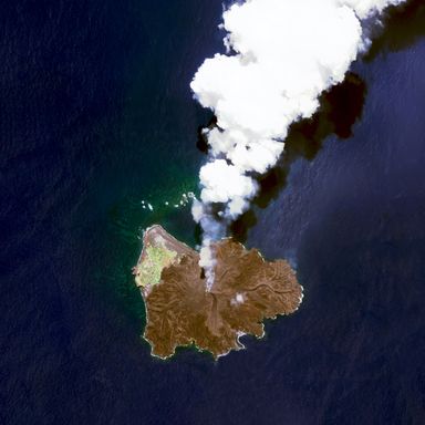
GrantÔÇÖs intent, which viewers can absorb en masse in the new volume Overview (Amphoto/Berkeley) or serially on Instagram, is to force a closer look at extreme human intervention in the landscape. ÔÇ£If I can use these pictures as a means to start people to have conversations, to learn something new about the world and be inquisitive about it, and understand also what we are doing to it ÔÇö while not necessarily saying itÔÇÖs good or bad, simply painting a picture of whatÔÇÖs going on right now ÔÇö I hope people can use that information to either act in service of the planet or simply have an idea [of] whatÔÇÖs going on,ÔÇØ he says. ÔÇ£If we can think about this bigger, about how everything that happens on one side of the planet affects things on the other side of the planet, it will lead ÔÇö and psychological research has shown this to be true ÔÇö to more optimism and more pro-social behavior. ItÔÇÖs not just a book of pretty pictures, [though] IÔÇÖve tried to hold myself to the highest standard of keeping the visual allure high, because thatÔÇÖs what will pull people in and get them to start talking.ÔÇØ
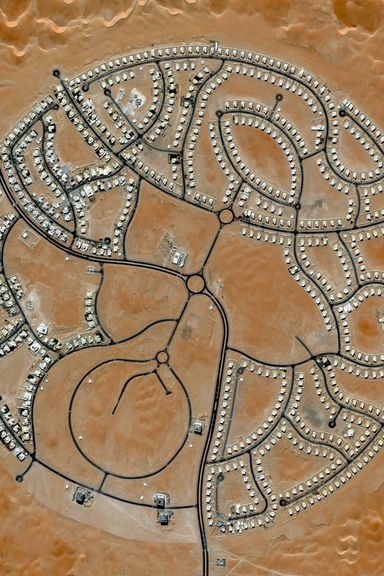
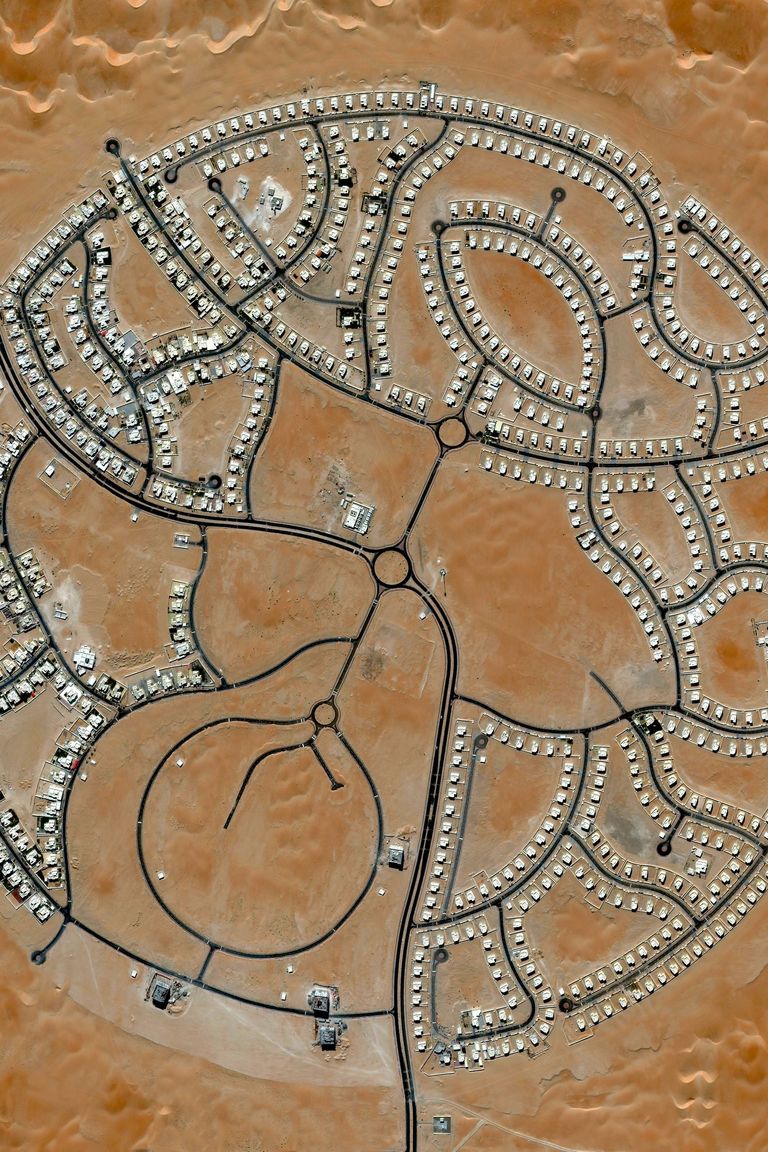
Photo: Overview by Benjamin Grant; copyright (c) 2016. Published by Amphoto Books; a division of Penguin Random House; Inc./(c) 2016 by DigitalGlobe...
Photo: Overview by Benjamin Grant; copyright (c) 2016. Published by Amphoto Books; a division of Penguin Random House; Inc./(c) 2016 by DigitalGlobe, Inc.
